Photos
Monte Penamá
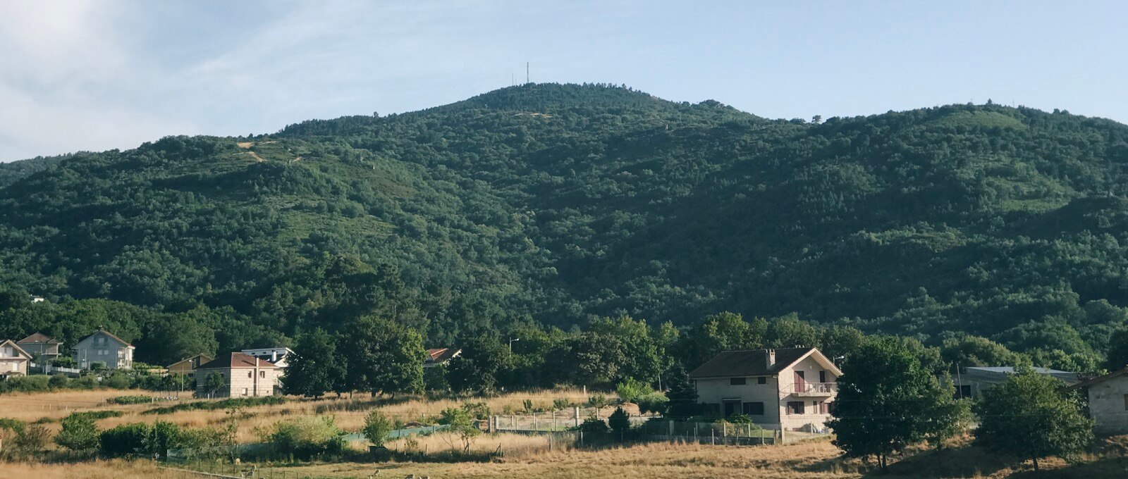
I’ve often seen these towers in the distance while walking in the monte but didn’t know this was Penamá, most likely the highest point in the area.
We woke up earlier to avoid the heat and hiked 2 hours to reach its “peak”, which was mostly flat and without any spectacular views, at 927 meters (3041 feet) above sea level.
The village thirty minutes down, however, has a great lookout and we even saw what most be Ourense.
I didn’t take many photos but did get this later in the afternoon while in town.
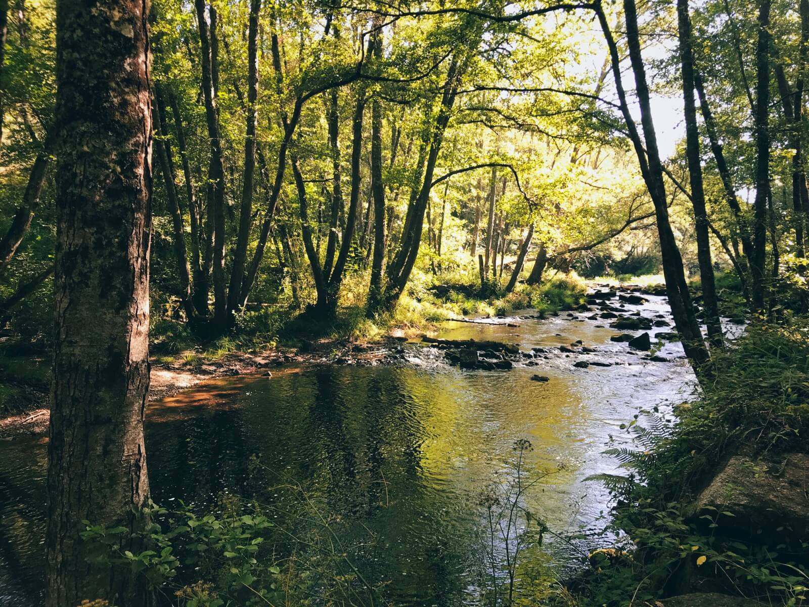
Vía de la Plata Marker
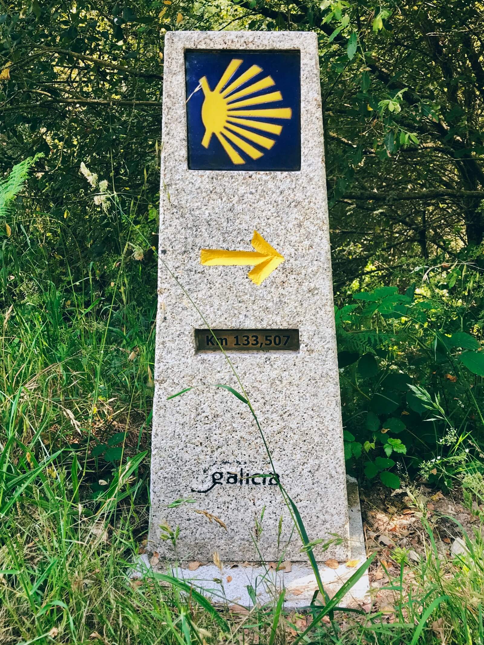
On a recent walk to O San Salvador via the monte, we noticed new kilometer markers on the vía de la plata, a less known route of the Camino de Santiago. Though plata means silver, the word actually derives from the Arabic al-balat, the cobbled paving of the old Roman roads.
I haven’t yet walked the camino (rather, camiño), but it’s been on my mind lately. Rather than traverse camino frances, I’d walk the camino mozárabe starting from Granada, which meets up with the vía de la plata at Mérida in Extremadura. Along the way, one would discover Muslim, Roman, Hispanic, and Celtic histories.
Toxo

Nós
